Charting safer seas in Papua New Guinea
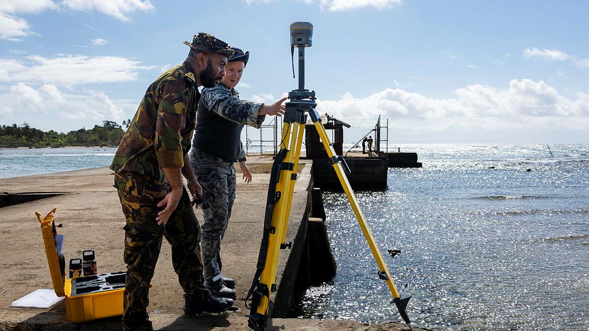
HMAS Leeuwin has delivered vital hydrographic data to improve maritime safety in Papua New Guinea (PNG).
At the request of the PNG Government, Leeuwin mapped uncharted waters around Morobe Province, conducted beach and littoral surveys and collected tidal data, producing data that will underpin new nautical charts.
These charts will enhance the safety of navigation for local ferry traffic, commercial shipping and visiting vessels, while strengthening PNG’s maritime sovereignty.
CO Leeuwin CMDR Danny Finn said the five-week mission built on more than half a century of Australian support for PNG’s hydrographic capability.
“We’ve had a very long relationship with PNG and about 50 years’ worth of history surveying Papua New Guinean waters,” he said.
“It's great to come back to help improve the charting quality here for the safety of PNG personnel and also for ships transiting through.
“Deployments like this deepen our partnerships with the PNG Defence Force and the local community.
“We have also been working with our PNG Defence Force partners to up-skill them in survey work while they help our crew gain local insights.”

During the deployment, PNG Defence Force Maritime Element (PNGDF-ME) personnel embarked in Leeuwin, contributing local knowledge and receiving training in advanced hydrographic techniques.
LEUT Samuel Bayagau, of the PNGDF-ME, described the mission as a practical expression of the Pukpuk Treaty.
“We are here as equal partners in sharing our knowledge and our environment,” he said.
“Working with the Australians has been a worthwhile experience, strengthening ties that go back to World War II.”
It was the second time LEUT Bayagau has been deployed in Leeuwin – the first time he stepped on board in 2017 he was still a midshipman – and he said the continuing relationship helped to lift interoperability between the two nations.
“Working with HMAS Leeuwin has been a great experience and an honour to operate in our territorial seas,” he said.
“The relationship between PNG and Australia goes way back, but now we have created our first alliance with the Pukpuk Treaty and this has strengthened our ties.”
Beyond survey operations, the crew conducted community engagements during port visits to Lae, highlighting the people‑to‑people links that underpin the broader defence relationship.
Leeuwin’s mission highlighted Australia’s enduring support for PNG’s maritime security and its broader role in promoting stability across the Blue Pacific.

See more images here.
Related stories


